


The SWAT BOX is a data collection sensor that can be mounted on agricultural equipment. The data is then used for generating the SWAT maps. (Photo by CropPro Consulting)

Agriculture is big business in Canada, feeding a combined $300 million dollars a day into the national economy. And with 40 per cent of Canada’s agricultural land located in Saskatchewan, the health and viability of that sector are crucial to our economy and our environment.
A team of University of Regina researchers, led by University of Regina assistant professor of engineering Abdul Bais, is currently working on a project that will help farmers reduce their environmental impact while maximizing their economic returns.
“Our project will enhance farmers’ ability to selectively apply herbicides to weeds in more efficient ways. That will reduce both crop and environmental damage.”
Traditionally, farmers manually scout to determine crop and weed growth. For those engaged in large-scale farming, the process is expensive, time-consuming, and causes extensive damage to both crops and the environment because the approach is to apply chemicals, such as herbicides, all over their fields, regardless of where the weeds are growing.
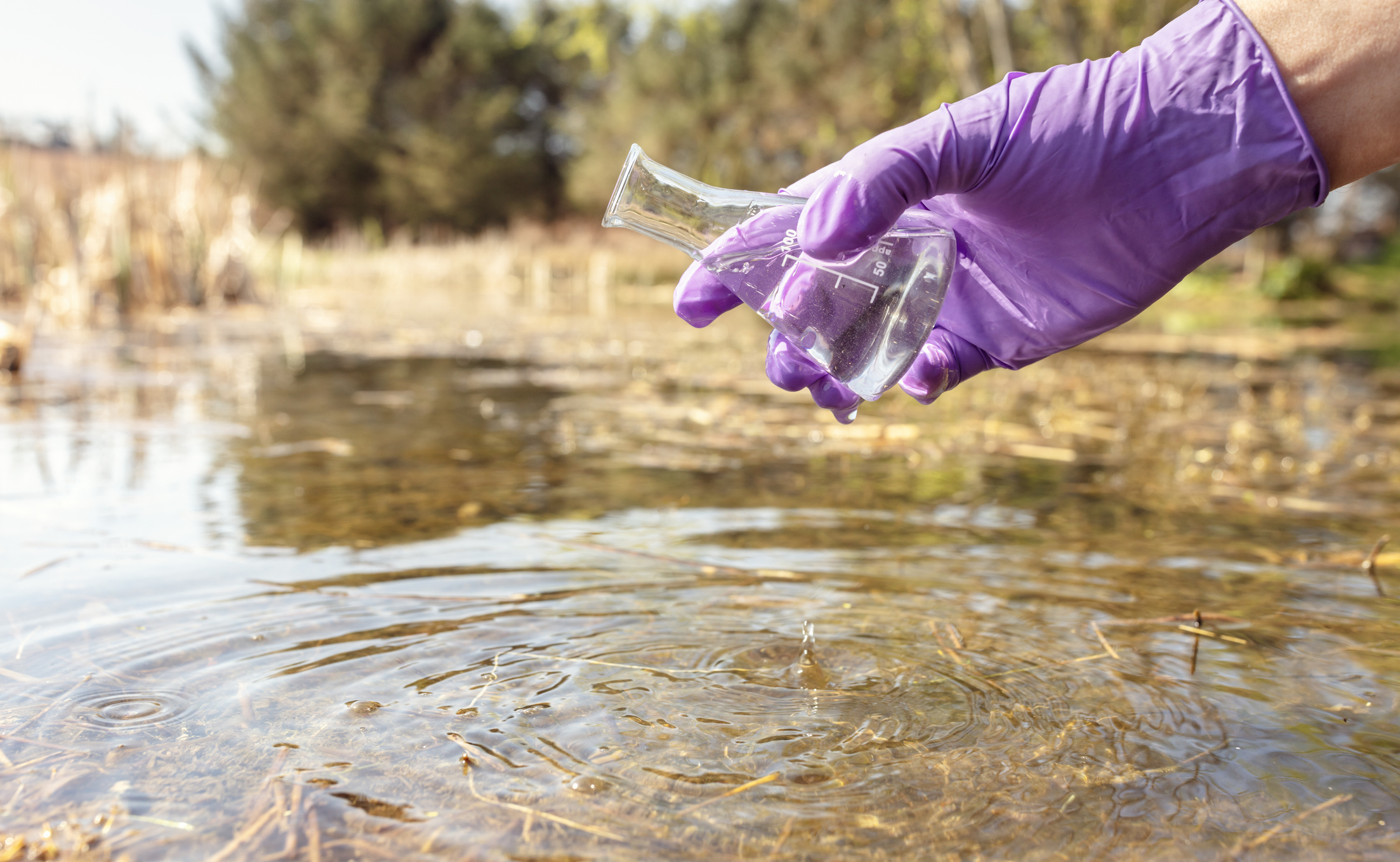
“Herbicides should only be applied precisely on the places where there are weeds,” says Bais, whose work as an electronics engineer has led him to this work in precision agriculture. “This requires accurately mapping the weeds in the fields.”
Using a computer vision-based automatic process, the researchers acquire high-resolution field imagery that enables them to determine which areas of the field have what types of weed.
“Then we can calculate the percentage of both weeds and crops in a given area and determine the exact quantity of herbicides to apply,” explains Bais.
Muhammad Hamza Asad, a PhD candidate in the University of Regina’s Faculty of Engineering and Applied Science, adds, “after processing the high-resolution ground imagery and Soil, Water and Topography (SWAT) maps of the farmland, we identify the homogeneous weed management zones so we know where to apply the herbicide.”

Weeds

Crop

SWAT map
Asad, who has a lead role in this research, began a pilot project using these precision agricultural techniques last year. At that time, he worked on only six fields. The results produced such a high level of accuracy in crop/weed density estimation and weed classification that he decided he could go bigger.
Working with CropPro Consulting, a Saskatchewan leader in the agricultural sector, the team is now advancing the technology to use on more than a million acres of agricultural farmland in the Prairies.
“Within the next couple of years, this technology will be fully ready to expand and apply on a larger scale to our agricultural operations in Canada and internationally,” says Cory Willness, president of CropPro Consulting.
“We are proud of this innovation coming out of the University of Regina."
"Canadian tech companies, equipment manufacturers, farmers, environmentalists, and the billion-dollar pesticide industry will benefit from the ability to apply variable-rate inputs that this type of precision agriculture allows.”

Cory Willness, president of CropPro Consulting, in Naicam, SK. (Photo by Erin Lindbloom)

Planet 9
Astronomer Samantha Lawler tests the theory of a Planet 9 existing in the outer reaches of our solar system.
Read More

Accolades
Recognizing U of R researchers
Read More